Colorful rhyolite mountains and lava near Landmannalaugar

Dark lava, mineral-coloured mountains and geothermal steam make Landmannalaugar a place to explore slowly on foot. A lava circuit, a mountain climb and a possible soak each offer a different way into the landscape.

From Reykjavík, the Highland approach makes this a long day. Choose your transport, protect time for one good walk and understand the road, parking and seasonal arrangements before setting out.

Before you make plans

At a glance

Main walking season
July–August

Roads, trails and services still depend on conditions.

Gentler introduction
Laugahraun

FÍ lists a 4.8 km circuit taking about 1½–2 hours.

Final vehicle fords
P1 + footbridge

Park before the two final fords and walk to the base.

Plan around
Time on site

Choose one main walk and allow time for the return.

The landscape

Rhyolite, lava and steam

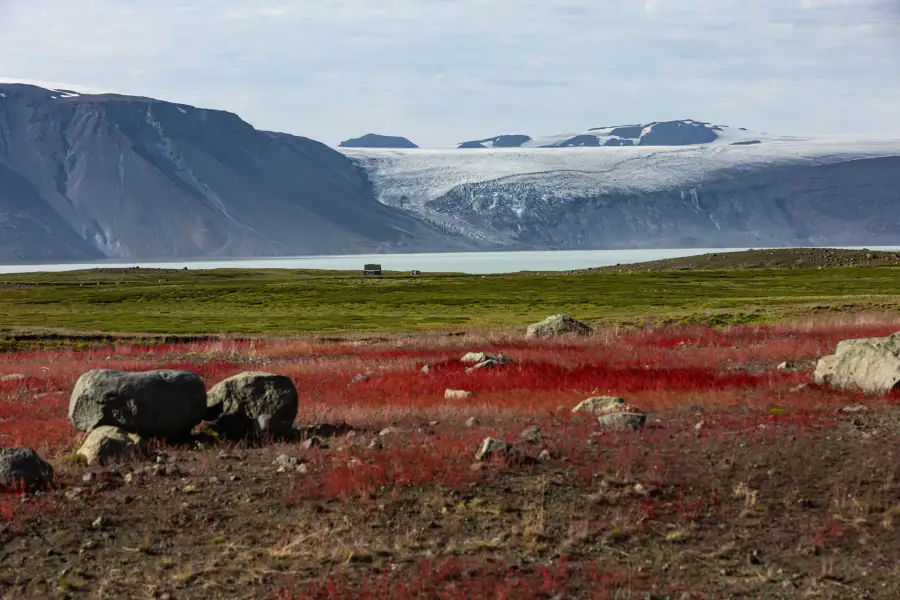
Dark Laugahraun lava sits below pale rhyolite slopes and the red and ochre of Brennisteinsalda. Steam rises where geothermal heat reaches the surface. The contrasts are visible from the base, but a path through the lava puts them close enough to examine.

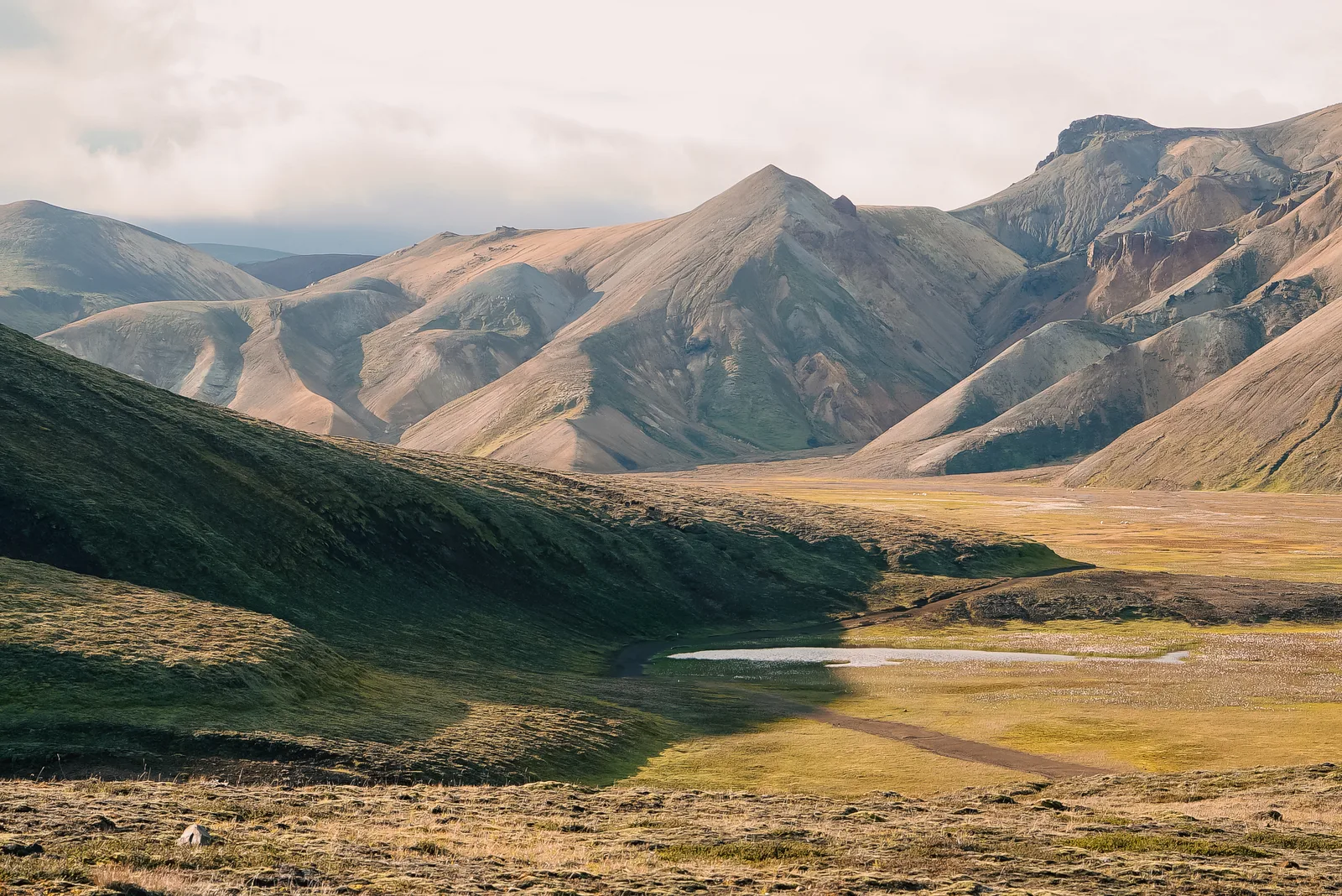
Layered rhyolite mountains above a grassy valley and winding stream in Landmannalaugar
Rhyolite slopes, green valley ground and a winding stream at Landmannalaugar.

Mountains coloured from within

Rhyolite gives the mountains much of their character. Geothermal alteration helps create the mineral colours around Brennisteinsalda, while dark lava and green vegetation sharpen the contrast. Passing cloud changes how those layers read across a slope.

Through Laugahraun

The trail winds between dark lava formations. From higher paths, the same lava field becomes one part of a wider pattern of gullies, slopes and river flats.

The beginning of a longer journey

Landmannalaugar sits in Fjallabak Nature Reserve and is the northern starting point of the Laugavegur trek to Þórsmörk. Day walkers and multi-day trekkers share the trailhead, but their plans differ. A day trip returns here; continuing along Laugavegur needs separate overnight accommodation, equipment and transport arrangements.

Getting there

The three approach roads and P1

Northern road 208, western F225 and southern F208 are different approaches, with different river crossings. Confirm the whole route and its live status. For a bus or guided visit, the useful number is the time available at Landmannalaugar between arrival and departure.

A guided Highland day

Choose this when you want someone to manage the Highland approach and help match the walk to your group.

Tell the operator whether your priority is a gentle lava walk, a summit, photography or a possible soak. The guide can then shape the day around the booked duration and conditions rather than discovering conflicting expectations at the trailhead.

Ask how much walking is included, the likely time on site, pickup and return arrangements, and what happens if access changes. Meals, equipment and a particular summit should only be assumed when confirmed in your booking.

Scheduled Highland bus

Choose this for independent hiking without taking a rental vehicle onto the Highland roads.

The Highland Bus is transport without a hiking guide. Icelandia's published 2026 Reykjavík service allowed 4¼ hours at Landmannalaugar, from 11:30 to 15:45. That example shows why a 3½-hour walk can leave little space for lunch, changing and delays.

Check your season's actual arrival, return stop and last departure; do not carry the 2026 timetable into 2027. Book the required journeys and choose a walk that finishes comfortably before boarding. A bus ticket does not reserve a hut bed.

Drive yourself

Choose this when a confident, rested driver has a suitable 4×4 and wants control over the visit's pace.

Confirm that your exact rental vehicle is permitted on every road in the planned approach, including F224. Vehicle size, clearance and current conditions matter; a 4×4 badge does not establish suitability for every Highland route or ford.

Read the rental restrictions and river-damage exclusions, check Umferðin, and arrange parking where required. Allow for slow rough-road travel in both directions. If a ford or road is beyond your experience, change the route or transport rather than experimenting.

Northern 208, western F225, southern F208

The northern Sigölduleið approach on road 208 has no unbridged rivers before the final Landmannalaugar spur. It is sometimes described as northern F208. F225 approaches from the west through Dómadalur and includes unbridged rivers. F208 from the south is a longer Highland approach with multiple fords. These are distinct choices; confirm the whole route rather than entering only the destination into navigation.

P1 and the pedestrian bridge

The last 2.5 km follow F224, with two river fords immediately before the hut area. Parka identifies P1 as the option before those fords: leave the vehicle there and use the pedestrian bridge. This avoids the final vehicle crossings, but does not remove the need for a suitable approach vehicle or the area's applicable reservation and fee arrangements.

Parking rules are tied to the season

For 20 June–13 September 2026, vehicles arriving between 09:00 and 16:00 needed a reservation. Parka stated that the service fee applied at all hours, including arrivals outside that booking window. Check the next published rules for a 2027 visit. Bus passengers do not reserve a separate private-car space; confirm any visitor charges with the operator.

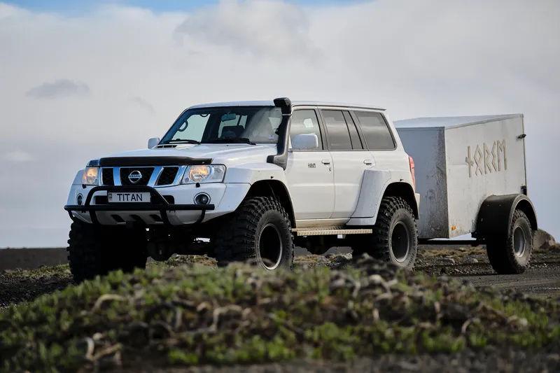
A modified Nissan Patrol with large tyres and a snorkel parked beside a standard SUV
A modified Norse Nissan Patrol. Vehicle suitability depends on the specific approach road and its conditions.

From the trailhead

Laugahraun, Brennisteinsalda or Bláhnúkur

Laugahraun stays among the lava; Brennisteinsalda climbs into geothermal colour; Bláhnúkur gains height more steeply for a panorama. The figures describe three separate FÍ routes. They exclude your breaks and are not distances for a combined circuit.

Compare the three FÍ routes

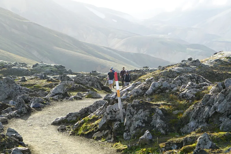
Hikers following a marked path through dark lava formations at Laugahraun in Landmannalaugar
The marked path between Laugahraun's dark lava formations.

A gentler first walk

Laugahraun lava-field circuit

Distance
4.8 km
Walking time
1½–2 hours
Ascent
Not specified by FÍ

FÍ's Landmannalaugar overview lists this lava-field circuit as a compact introduction. It gives you close views of the dark lava and surrounding mountain colours without committing the day to a summit.

The ground underfoot
Expect an uneven walking trail rather than a level promenade. Take your time through the lava and use the marked route. If your chosen circuit uses Grænagil, follow its signed one-way direction towards the Jökulgil river flats.
Make it fit the day
Allow more than the published walking time for stops. This is the most forgiving of these three choices when you also want lunch and time around the hot spring; check that the whole circuit suits current conditions.
Route information and current advice (opens in a new tab)

Time at Landmannalaugar

A lava circuit or a mountain day

A bus departure gives the visit a firm end. Count backwards from it, including lunch and the walk to the meeting point or P1. The lava circuit leaves more time around the base; a mountain route uses most of a short visit.

Laugahraun, lunch and the spring

For a first visit, mixed walking interests or anyone who wants time to enjoy the landscape at ground level. Choose this when a gentle walk matters more than gaining a summit.

  1. Walk the lava circuit

    Find the return meeting point and ask the wardens about Laugahraun before leaving. Follow the marked circuit, including the signed direction if using Grænagil.

  2. Lunch and a possible bath

    Eat your packed lunch and read the current bathing notices. A soak needs time for drying off, dressing warmly and returning to the bus or P1; keep a dry layer for the journey home.

You give up the higher summit panorama in exchange for a less compressed visit and more time to stop along the trail.

Brennisteinsalda or Bláhnúkur

For walkers whose main aim is Brennisteinsalda or Bláhnúkur and whose transport leaves enough time for the chosen route, breaks and a generous return margin.

  1. Start with the mountain walk

    Confirm the full circuit, crossings and descent with the wardens, allowing for the weather and group's ability. Carry lunch, water, warm layers and navigation.

  2. Finish the descent before adding a bath

    Include food and photo breaks, and shorten the route if conditions or pace require it. Back at the hut area, the remaining time must cover eating, changing and reaching your transport before a soak.

A proper mountain walk uses most of the visit. Leave a second summit and a leisurely bath for a longer stay.

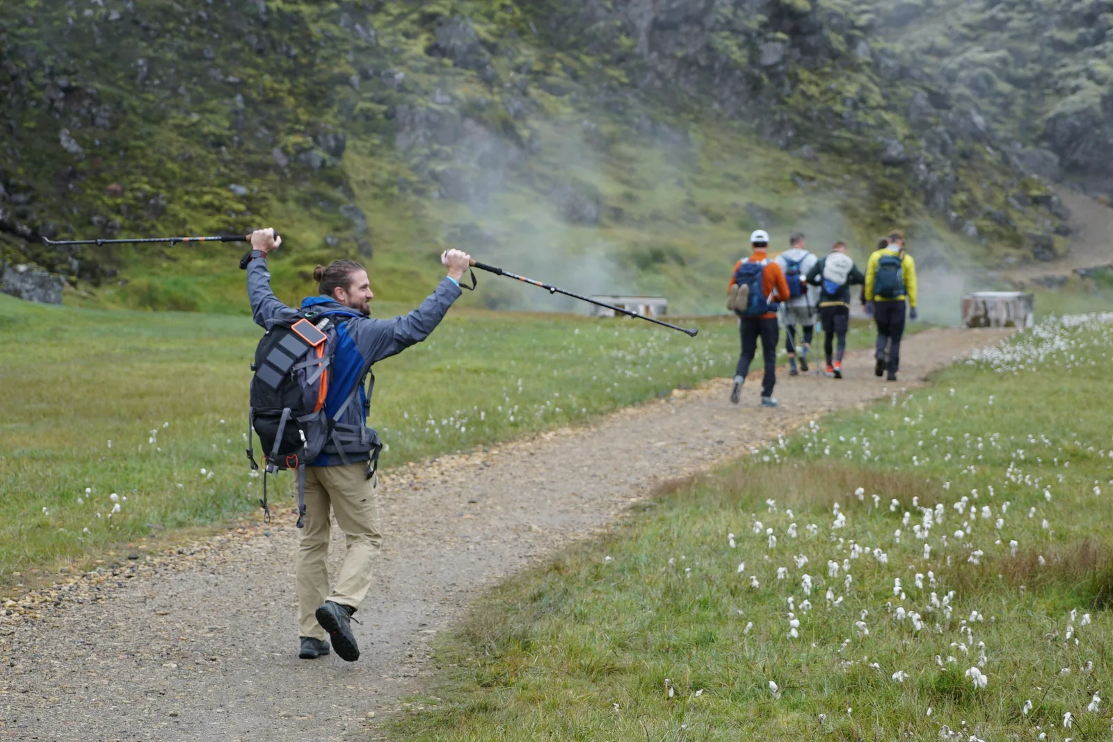
A hiker raising his trekking poles while a group walks along a gravel path in Landmannalaugar
Out on the trail with Norse in Landmannalaugar.

Before you go

Lunch, layers and a possible soak

The hut and campsite concentrate the facilities. Beyond them, you need the day's food, water and clothing in your pack. Bathing clothes belong in a separate bag, with something warm and dry for afterwards.

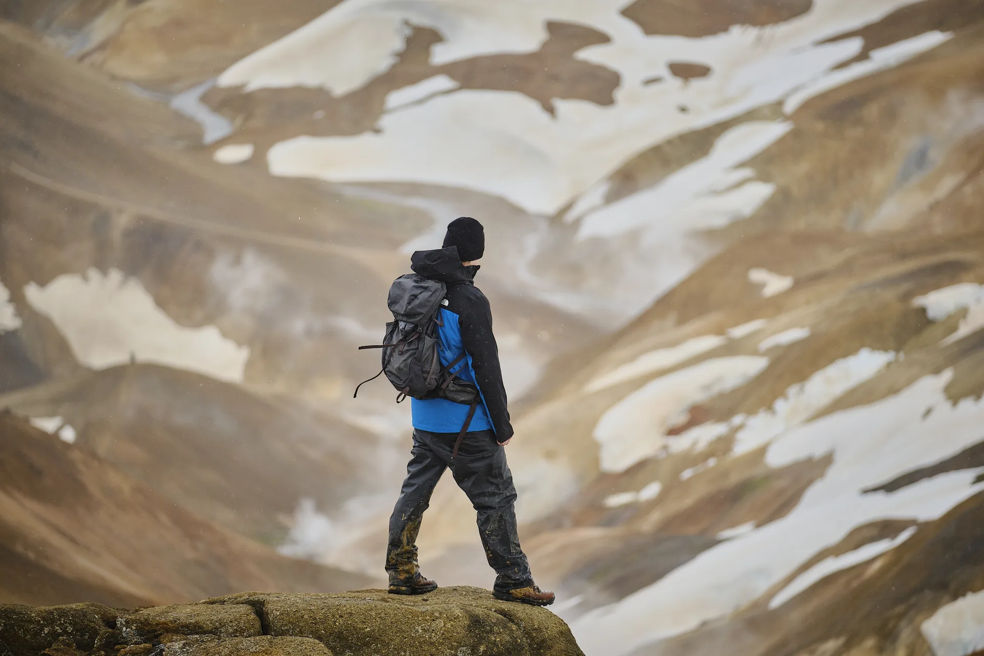
A hiker with a daypack, jacket and walking boots standing above snow-streaked Highland slopes
A daypack on a Norse Highland walk, with the day's supplies close at hand.

Dress for a windy mountain stop

Wear a wool or synthetic base layer, insulating mid-layer and waterproof jacket and trousers. Bring a warm hat, gloves and supportive footwear with grip, even in summer. Adjust layers before sweating heavily on the climb, then add warmth at breaks. Protect spare clothing inside the pack and keep dry socks available for the return.

Bring lunch; use the base facilities

Pack a substantial lunch, snacks and filled water bottles rather than relying on food being available when you arrive. FÍ provides drinking water at its huts and toilets at Landmannalaugar; check notices and current service arrangements with the wardens. Showers have separate payment arrangements. Do not assume a day visit includes access to hut kitchens, charging or Wi-Fi.

Treat the bath as an optional natural stop

Bring swimwear, a towel, a bag for wet clothes and warm layers to put on afterwards. Read the current notices and ask staff about bathing conditions before entering. The Environment Agency has documented swimmer's itch here in the past; that dated advisory does not describe today's water conditions. Follow designated access, leave soap out of the water and keep time for changing.

Keep the colours and moss where they are

Stay on defined paths, respect closures and leave rocks and vegetation undisturbed. Grænagil has a one-way walking arrangement; follow the signs rather than reversing a downloaded track. Take photographs from the trail instead of creating a new path across a slope. Pack out rubbish, and check the reserve's specific rules before bringing a drone.

Make a plan you can use without signal

Check the Highland forecast and live road information before departure, then speak with wardens about the chosen walk. Download the map in advance, carry backup power and tell someone your route and expected return. Agree when to turn back. A visible marker at the start does not guarantee that later markers will be visible in cloud.

The walking season

Summer access and the months around it

July and August are the usual starting point for a walking visit. Road opening, trail conditions and transport services follow different calendars; June, September and the closed-road period need more individual planning.

Core summer: July and August

The usual starting point for planning a walking visit, with long days and the main seasonal services operating. The landscape can still feel cold in wind and rain.

Confirm that your particular approach is open, your bus or tour is running, and any parking reservation is arranged. Summer is a planning season, not an assurance about an individual road or day.

Choose from the marked routes according to conditions. Snow can persist in the Highlands, so ask about the actual trail rather than assuming a summer date means clear ground throughout.

Season edges: June and September

A potentially rewarding visit with more uncertainty around snow, weather and how much of the summer programme is operating.

Opening dates depend on snowmelt and ground conditions; autumn access can deteriorate as weather changes. A published bus season, parking window or previous year's road opening does not prove your route will be available.

Keep another day or a lowland alternative available. If access works, choose the walk after checking conditions and leave extra room for a shorter visit or an earlier return.

Winter and the closed-road period

A snow-covered Highland landscape that calls for a separate kind of journey. The normal summer walking day cannot simply be moved into a winter month.

Discuss any visit with a specialist operator using an appropriate modified vehicle and experienced driver, subject to access restrictions. Ordinary rental-car travel and the summer bus timetable are not a winter access plan.

Confirm what the operator actually offers, including time outdoors, equipment and cancellation arrangements. Do not expect the summer circuits, facilities or a hot-spring stop to be available as described above.

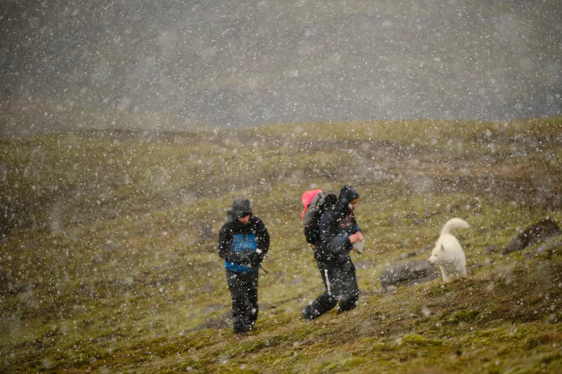
Two hikers and a white dog making their way through a snow shower on open Highland ground
Hikers and a white dog crossing open Highland ground in a snow shower.

Good to know

Common questions

Can Landmannalaugar be done as a day trip from Reykjavík?

Yes, when the approach is open and conditions suit the trip. Expect a long outing and compare the hours actually available at Landmannalaugar. Choose one main walk, add meals and return logistics, and treat bathing as optional. A South Iceland pickup or an overnight in the region can change the balance of driving and walking.

Do I need a 4×4, and can I avoid river crossings?

For an ordinary summer self-drive visit, use a suitable 4×4 with permission for the exact roads. The northern 208 approach has no unbridged rivers before the final spur; P1 and the pedestrian bridge let you avoid the final vehicle fords on F224. F225 and southern F208 include other crossings, so they are not equivalent alternatives.

Do I need to reserve parking in 2027?

Check Parka's rules for the 2027 season when published, before your visit. The confirmed 2026 arrangement required reservations for arrivals from 09:00 to 16:00 between 20 June and 13 September, with a service fee at all hours. Those dates should not be assumed for 2027. Bus passengers do not book a separate private-car space.

Which walk should I choose for a first visit?

Laugahraun is the gentler starting point among these options: FÍ lists 4.8 km and 1½–2 hours, before your breaks. Brennisteinsalda and Bláhnúkur involve more ascent and weather exposure. Choose by terrain, ability and available time as well as distance; the shorter Bláhnúkur route is still a mountain climb.

Can I bathe in the hot spring after hiking?

Include a possible soak if current access and bathing advice allow, and your schedule has room for changing and returning to transport. Bring swimwear, a towel and dry layers. Historical official advisories have reported swimmer's itch here; read today's notices and ask staff about conditions rather than assuming a natural bathing place has guaranteed water quality.

Can I visit Landmannalaugar in winter?

Discuss it with a specialist Highland operator. Normal summer road access and scheduled buses do not provide a winter self-drive itinerary, and a modified vehicle does not override closures or restrictions. Confirm what is possible for your date, including outdoor activities and facilities; do not expect to follow the summer hiking plan unchanged.

Color, hiking, and Highland logistics

Explore a Landmannalaugar day with time for a walk and a soak

View Landmannalaugar
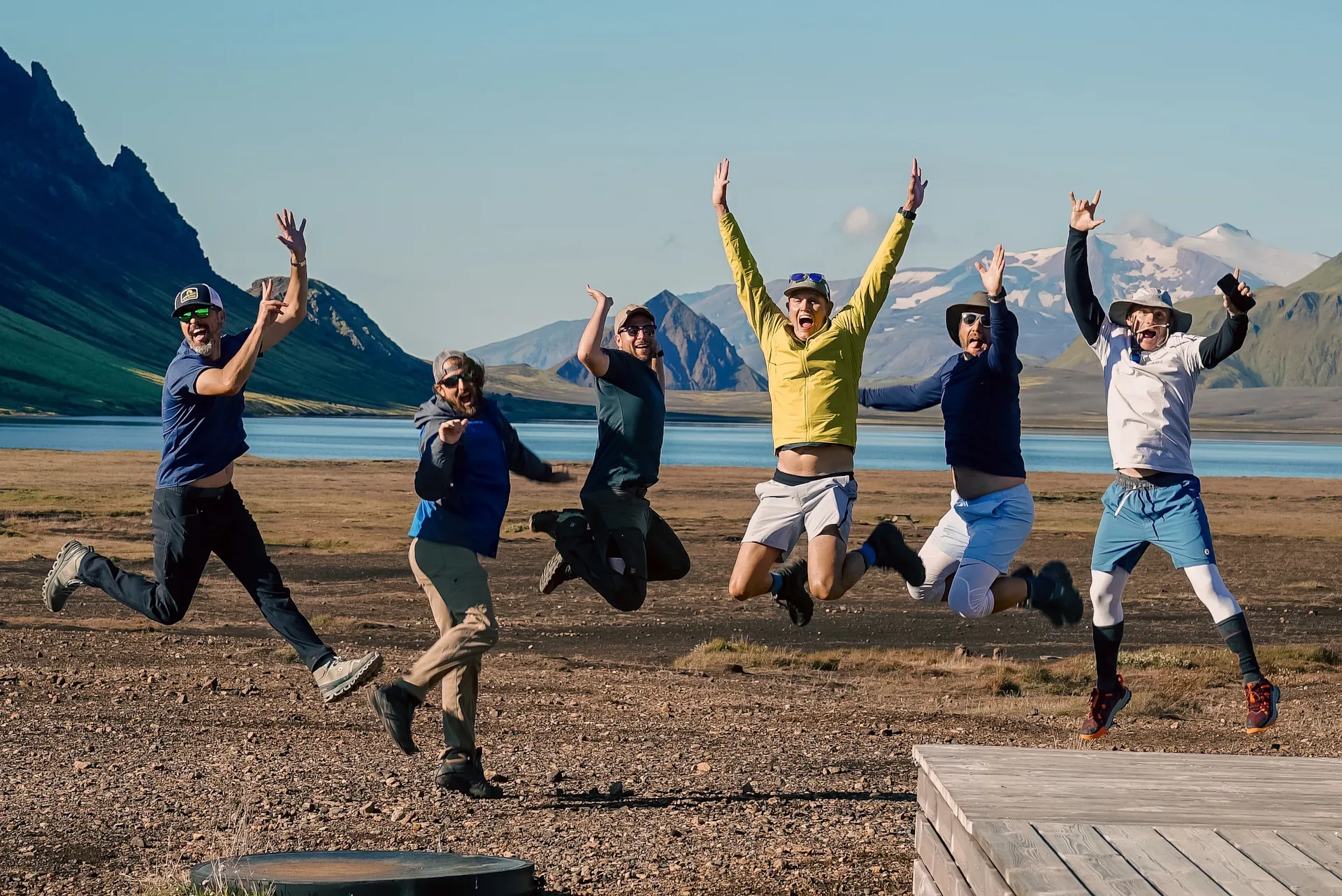
Happy group of hikers outside Alftavatn Hut in Iceland with Norse Adventures

Newsletter

Join our community

New departures, field notes from Iceland, and practical planning ideas from the Norse Adventures team.